Brandywine Valley Planning & Management
Scenic Conservation Plan
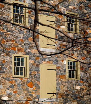
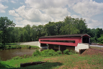
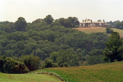
As a result of last Fall's Scenic Conservation Workshop, Delaware Greenways has initiated the Brandywine Valley Carrying Capacity and Preservation Study, which will result in a Scenic Conservation Plan to preserve the beauty of the Brandywine Valley National Scenic Byway while providing for sustainable growth and development. The Plan will focus on integrating land use and transportation in a way that preserves the historic, natural, and scenic landscapes of the Brandywine Valley, while providing convenient mobility for the residents, visitors, and businesses along this corridor.
The study and planning process will include significant public participation components. A steering committee of community leaders has been convened, and many of its members were involved in the establishment of the Brandywine Valley National Scenic Byway. A series of public meetings to discuss growth scenarios for the study area, plan preferences, design guidelines, and other issues will be conducted during the process. Refer to the Events tab under the Brandywine Valley National Scenic Byway pages on the Delaware Greenways website for notification of the public meetings.
Two technical reports that form the a part of the basis of the Plan have been completed. The first report, the Existing Conditions Report, presents an inventory of existing environmental, demographic, infrastructure and transportation conditions in the Brandywine Valley and along the Brandywine Valley National Scenic Byway. The second report, the Viewshed Analysis Report, presents the results of an analysis of the viewshed in the study area. The viewshed analysis represents both a quantitative analysis using the geographic information systems capabilities of Delaware Greenways staff and a qualitative analysis as seen through the eyes of a special committee of viewshed analysis volunteers.
As the study proceeds, all of the reports generated will be available for public review on this webpage. The documents are large and you may need to save them to your desktop before opening them. They are in PDF format.
82/52 Intersection Safety Plan
Delaware Greenways, along with the Kennett Pike Association and the Red Clay Valley Association, is working with DelDOT to develop a safety improvement plan for the intersection of Routes 82 and 52. Route 52 is a part of the Brandywine Valley National Scenic Byway and Route 82 is part of the Red Clay Byway. Delaware Greenways' goal is to work with DelDOT to develop a design for the intersection that addresses the safety issues at the intersection as well as develop a design that can be applied as a guideline for the remainder of Route 52 on all future improvements. The Route 52 design guidelines are one example of the design guidelines Delaware Greenways will develop for the roadways of the Brandywine Valley as part of the Scenic Conservation Plan.
DGI Seeks Byway Extension
Delaware Greenways is seeking an extension of the Brandywine Valley National Scenic Byway to include three segments that form a continuous 5.4 mile loop to the east of the northern limits of Montchanin Road. The loop connects Montchanin, Thompsons Bridge, Smiths Bridge and Ramsey Roads. The nominated extension traverses country estates and public lands and shares the intrinsic scenic, historic, natural, cultural, and recreational qualities that rendered the byway worthy of national distinction. Public meetings will be held in early 2011; public comment will be solicited at that time.
E-mail Us!