
Home » Northern Delaware Greenway Trail

Length:
Surface:
Difficulty:
County:

The Northern Delaware Greenway trail is where Delaware Greenways’ story began… In the early 1990’s, local residents in North Wilmington, actively opposed the building of a shopping mall at Rock Manor Golf Course. Delaware Greenways was formed, and brought together a coalition of neighborhood groups, community associations, state, local and federal government agencies to plan, fund and construct the Northern Delaware Greenway Trail. It took 25 years to complete.
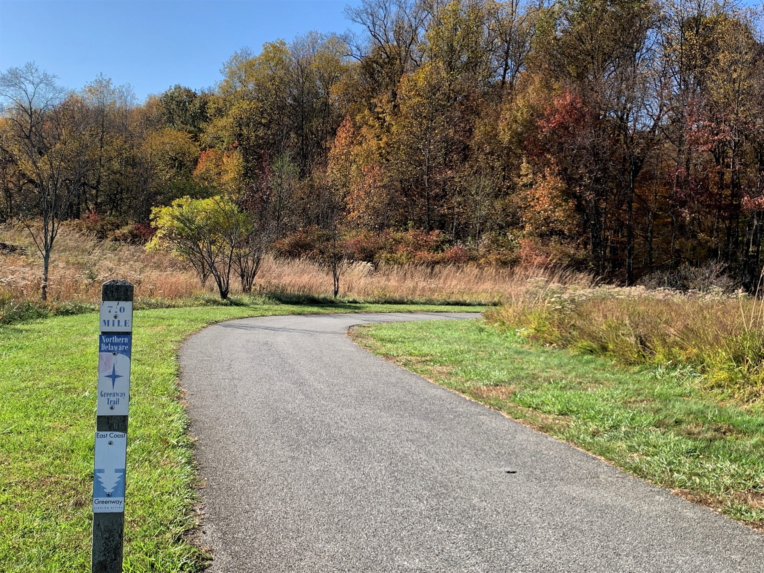
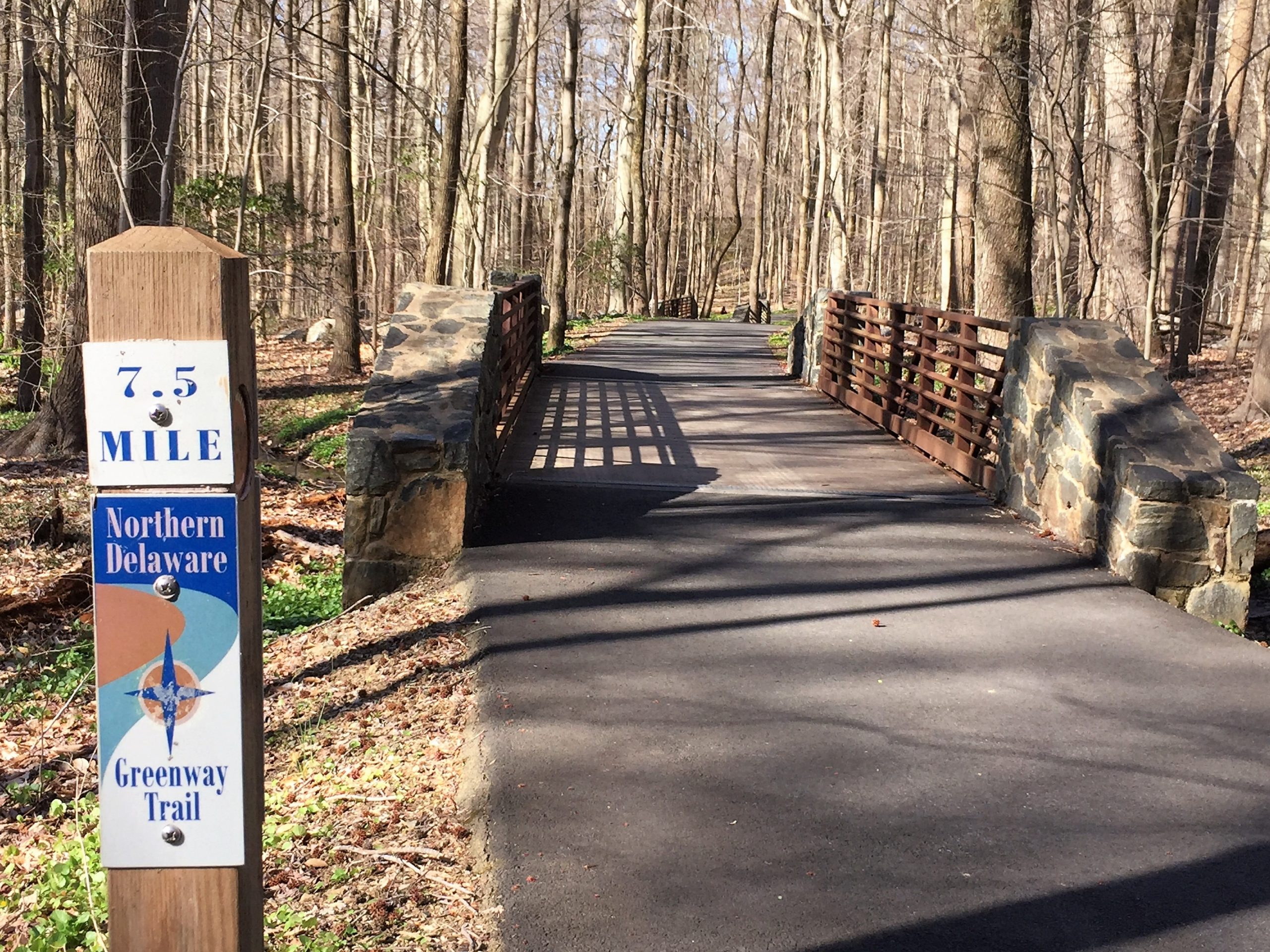
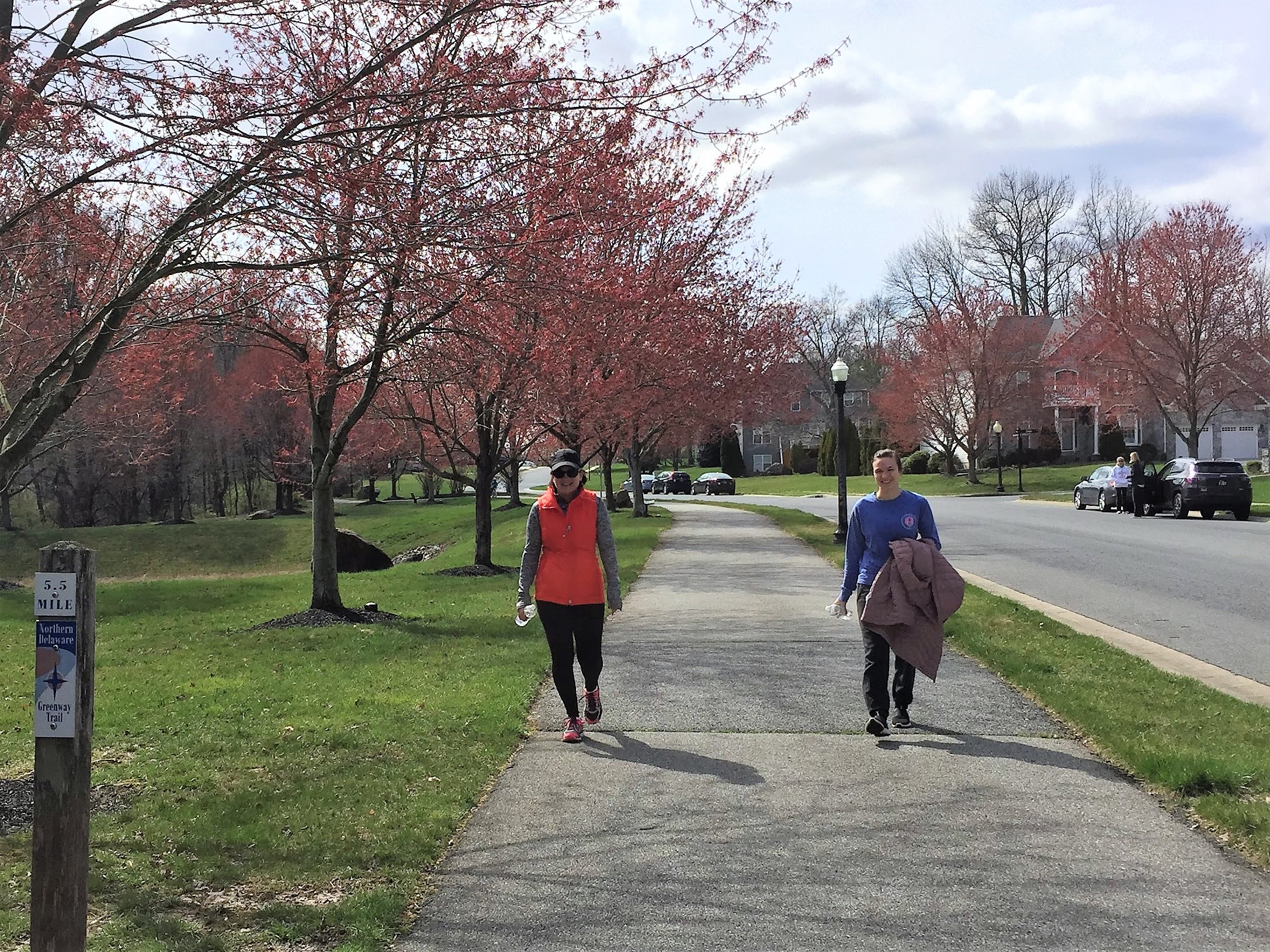
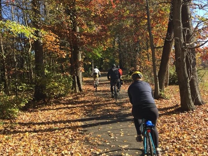
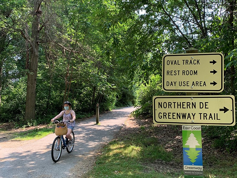
The Northern Delaware Greenway Trail is the longest, oldest, existing, off-road trail in Delaware. It’s earned the special designation of National Recreation Trail, a program which recognizes the country’s highest-caliber trails that provide recreation access to rural and urban communities, economic development through tourism, and healthy recreation opportunities. The trail also serves as Delaware’s section of the September 11th National Memorial Trail and the East Coast Greenway, whose organizations are both First State Trail Coalition members.
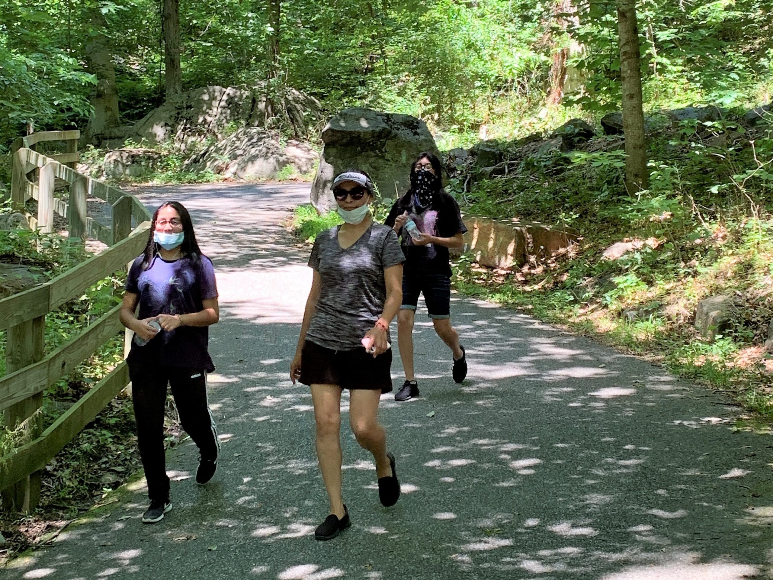
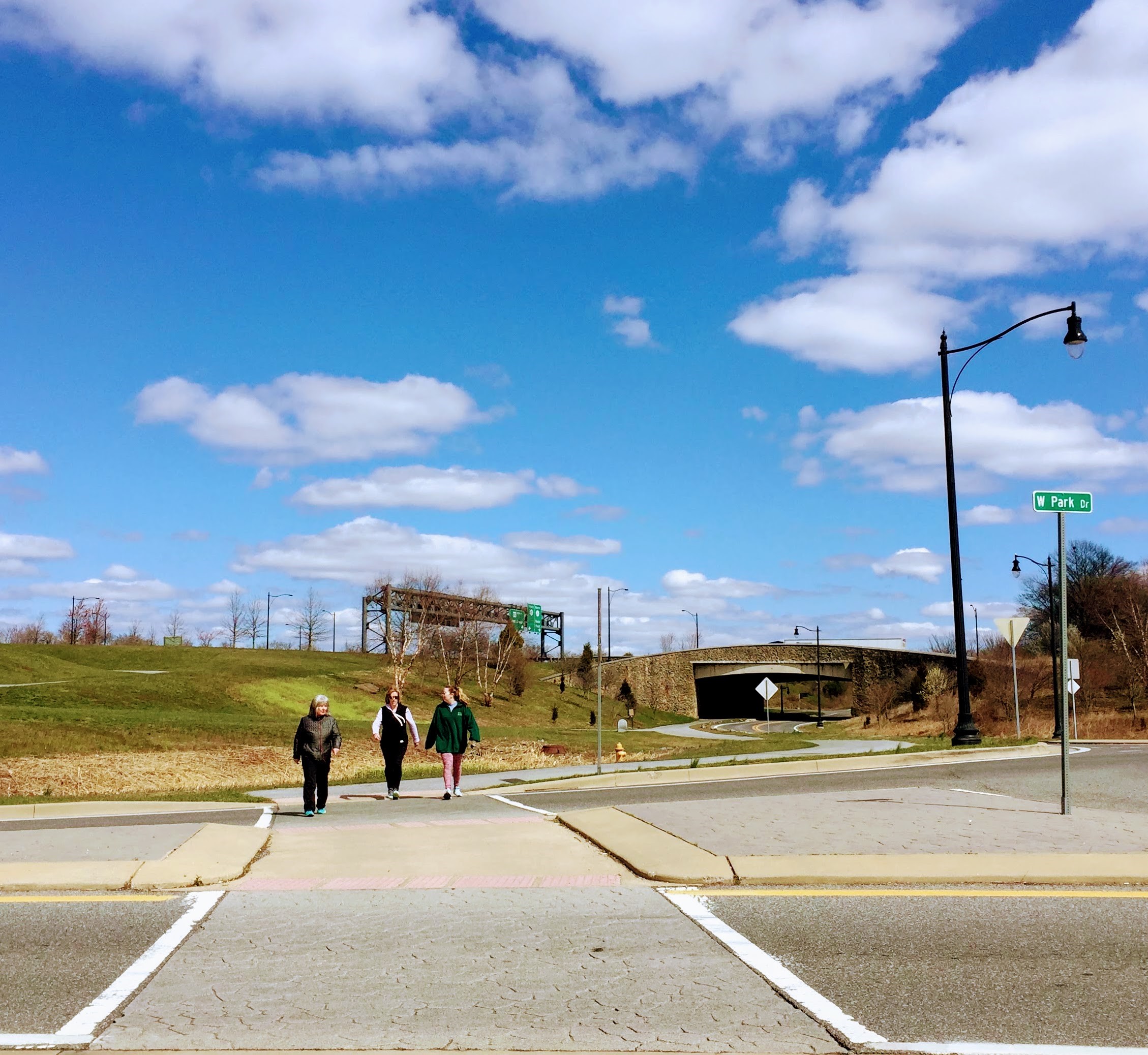
The Northern Delaware Greenway links Bellevue State Park and Brandywine Park and the City of Wilmington through a series of trails that travel some of the most beautiful landscapes in Delaware.
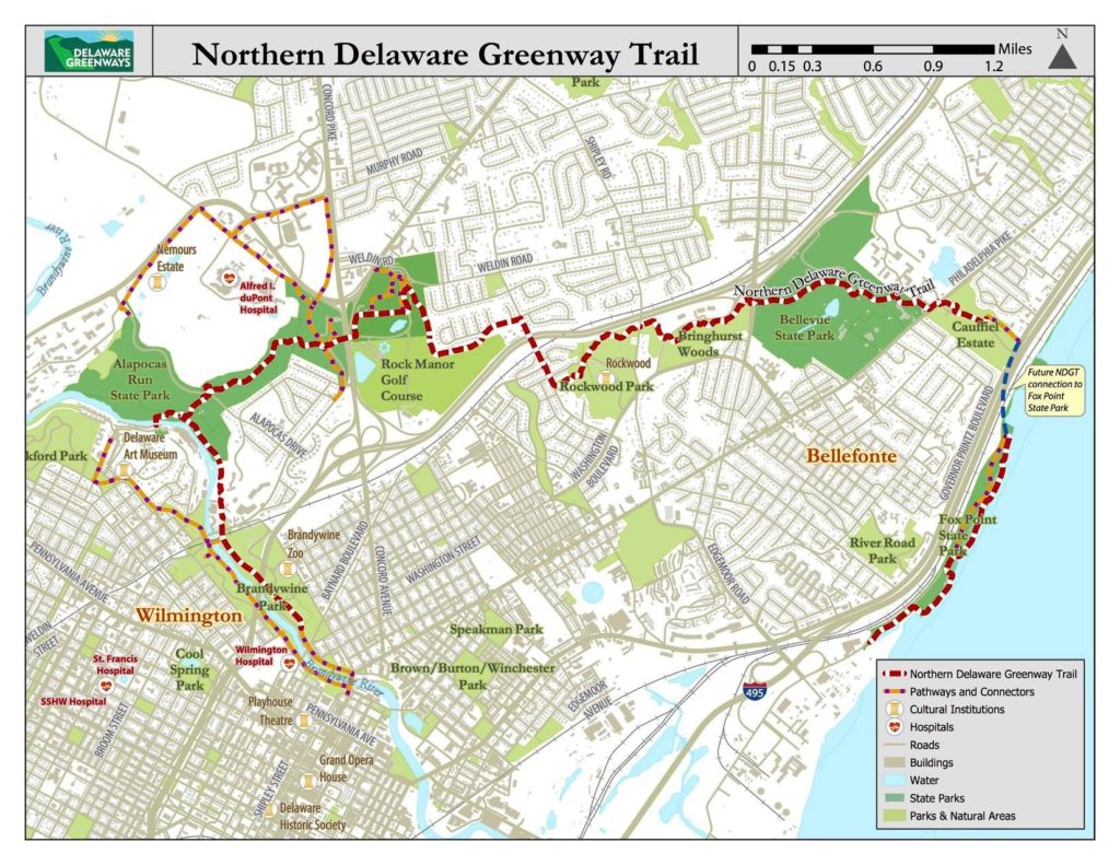
Click on the highlighted trail in the interactive map below for trail information and directions.
Below you will find meeting minutes, presentations and reports, providing updates on the bridge’s condition, and next steps forward.
Public Meeting held in April 2024: Regarding the Section 106 Review under the National Historic Preservation Act and the development of a Memorandum of Agreement for the demolition and replacement of the Bancroft Pedestrian Bridge, Alapocas Run State Park, Wilmington, New Castle, DE. Read the entire Public Notice HERE
View the video recording and presentation slides of this meeting, which provide outlines on the historical evaluation, permit/bid/design/construct/complete process and timelines.
Highlights:
View the video presentation, which provides extensive details on the bridge’s replacement, including study findings, build challenges and next steps toward reopening this access point to the park and trail.
Highlights:
View the video presentation, which outlines the findings of the engineering firm’s survey, and provides recommendations for the bridge’s future.
Also available to view, are the Public Workshop Presentation and the DNREC Alternatives Report.
Bancroft Footbridge Group
Meetings of October 27, 2021
The Director of Delaware State Parks, Raymond Bivens, met with several groups today, October 27, 2021, by Zoom meeting, to discuss the Bancroft Footbridge connecting Alapocas Run State Park to Rockford Road. Director Ray Bivens and Matt Ritter (the State) met with Mary Roth, Executive Director of Delaware Greenway, Inc. (DGI), Jed Patterson, President of the DGI board and Gary Linarducci, Member of the DGI board. We discussed the damage to the bridge that occurred when it flooded on September 2, 2021. Mr. Bivens showed us some photos taken shortly after the flood, which showed that the bridge appeared to have been moved and some steel girders have been separated. The bridge appears to have been significantly damaged.
We asked if there was any way to temporarily open the bridge with reduced foot traffic and supervision to avoid crowding, but the State will not allow anyone on the bridge until and unless a structural engineer inspects the bridge and signs off on its safety. At this time, the engineer hired by the State said that he would have to disassemble the bridge and inspect each part of the bridge before he would sign off on it. Director Bivens advised us that this inspection process alone, before any repairs take place, would take approximately 6 months.
The two paths provided by the State are to either completely rebuild the bridge or undertake extensive repair efforts to the existing bridge. Neither option would provide a faster timeline necessarily. DNREC did seem to lean toward building an entirely new bridge because the current bridge is too low to the river and most of the support elements of the bridge are on the bottom of the bridge. There is a good chance that if the existing bridge was repaired, it would be damaged again in future floods which may occur with more frequency.
The State obtained a report from an engineering firm, Century Engineering, which indicated that the bridge sustained substantial damage and due to the uniqueness of the steel bridge, an engineering firm that specializes in steel bridges should be consulted for this project. The State then contacted GPI [Greenman-Pedersen, Inc.] which will work on an expedited basis to study the bridge and make its recommendations.
There is an historical value to the bridge, (although the bridge is not on the Historical Register), so the State must work with the State Historical Preservation Office (SHPO). The State will also need to determine if permits to work on the bridge will be needed from the Army Corps of Engineers due to the location over the river. Funding does not appear to be a major obstacle to fixing the bridge. Ray said that federal funds have been secured through disaster relief money, and Senator McBride and Representative Brady have made clear a commitment to supporting this work should any future finance issues arise.
Director Bivens stressed that he understands how important this bridge is to the communities in this area, and that the reopening of the bridge has been a priority of the State Department of Parks since its damage by Hurricane Ida, and that his office is proceeding as quickly as possible. He agreed to keep us informed about the progress on the bridge and he agreed to some type of town hall meeting with the public, probably by Zoom.
After Director Bivens met with the DGI delegation, the State met with our elected officials: Senator McBride, Representative Brady and Representative Griffith. Councilman Field had a prior commitment and was unable to attend today’s Zoom meeting with the officials from State Parks. The officials discussed many of the same issues described above with our elected officials. The State sent an email to our representative with a summary of the discussions they had today. A copy of the email is found below. [in drop-down]
At 2:30 today, Senator McBride, Representative Brady, Denison Hatch, HCA [Highlands Community Association] President, Jed Patterson and I met again to discuss our next steps. We agreed to set up a town hall meeting, through Highlands Community Association. HCA and DGI will also publicize the efforts being made to reopen the bridge as soon as it can safely be done.
Respectfully submitted,
Gary Linarducci
10/28/21
From: Patterson, Gregory B. (DNREC) <gregory.patterson@delaware.gov>
Sent: Wednesday, October 27, 2021 2:34:57 PM
To: Brady, Gerald (LegHall) <Gerald.Brady@delaware.gov>; McBride, Sarah (LegHall) <Sarah.McBride@delaware.gov>; Griffith, Krista (LegHall) <Krista.Griffith@delaware.gov>; nrfield@wilmingtonde.gov <nrfield@wilmingtonde.gov>
Cc: Garvin, Shawn M. (DNREC) <Shawn.Garvin@delaware.gov>; Bivens, Raymond E. (DNREC) <Raymond.Bivens@delaware.gov>
Subject: Summary of information re Bancroft Bridge
Senator and Representatives and Councilman – Here is a summary of our discussion this morning. I will send the Century Engineering report by separate email – it is a large file so let me know if you do not receive it soon after this one.
Hope that is helpful, and we will continue to stay in contact with you.
Greg
[Greg Patterson, DNREC Secretary Garvin’s Chief of Staff]


